| üĪ The Equipments of Research |
| Earth observation satellite data are becoming increasingly improved and sophisticated in multiple aspects, including the development of hyper-spectral bands and high resolution optical and microwave sensors. The generation of more precise and reliable earth environmental information is of utmost important in the fields of earth observation system. To further research on time-space earth environmental information generating systems using the latest information processing technologies, research center utilizes the following state-of-the-arts equipments and facilities.
|
|
|
 |
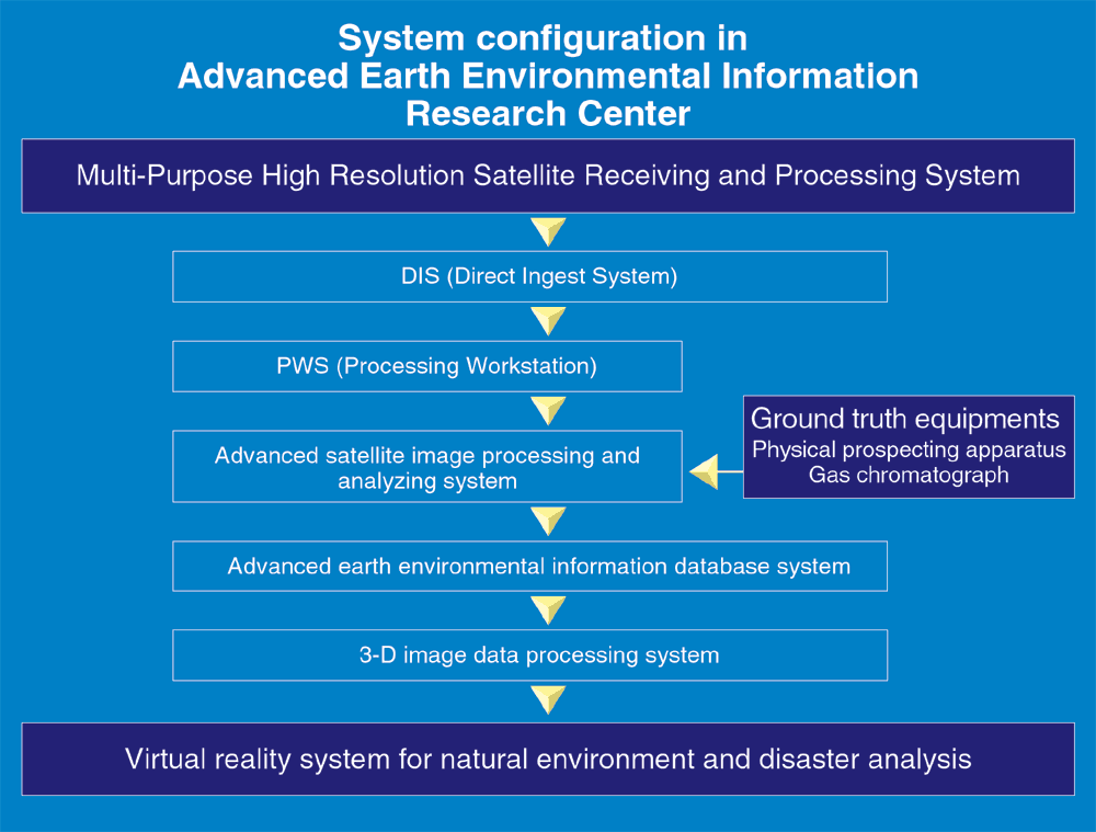
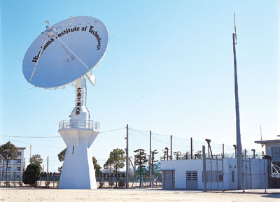
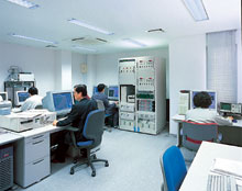
| Multi-Purpose High Resolution Satellite Receiving and Processing System |
 |
 |
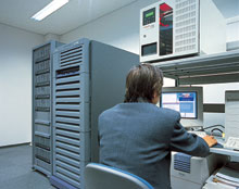 |
| This equipment is used for consistent research and development of earth observation satellite data from acquisition to processing, analysis, and practical application. This system has a capability to receive and process the telemetry data from earth observation satellites in real time, and to analyze environmental phenomena and natural disaster phenomena at the appropriate time. This system also has the capability to perform high-level processing and analysis of directly received satellite data which is adopted to the purpose of the research at high-speed and high-precision.
|
| Virtual Reality System |
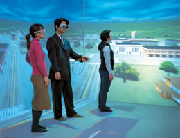 |  |
| This equipment effectively integrates earth observation satellite information, digital mapping information to generate images in virtual reality on the earth environment that appeals to human intuitive information. It synthesizes satellite information and digital mapping information in real time in virtual 3-D image space.
|
| Gas Chromatograph |
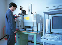 |
| This equipment is used to construct the water quality and vegetation database in river and coastal area. By boring in the area and by analyzing water samples gathered in river and coastal area, the types and quantities of contaminant can be clarified, making it possible to perform verifications with satellite data. The prior evaluation of the flow quantity and the situation of the river flood are useful to minimize damage from actual floods and are indispensable factors in the integrated river management planning. This equipment is used to research to understand the outflow situation to such river and a coast region.
|
| Phisical Prospecting Apparatus |
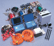 |
| The equipment is used for the purpose of acquisition of the underground data such as the structure and water contents by the prospect for research and the verification on the relativity between the surface structural analysis using high resolution satellite data and underground structural condition.
|
|