| ||
| The image on the right shows the geometric corrected satellite image map using IRS data (5.8 m ground resolution and 70 km swath). (Processed : HIT, IRS-1C image : (C)NASDA/RESTEC/ANTRIX1999/SpaceImaging(R)) |
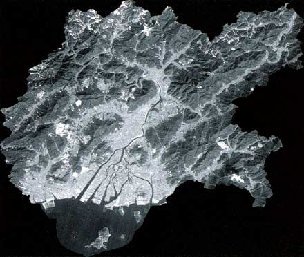 |
| High resolution satellite image map |
| ||
| The image on the right shows the geometric corrected satellite image map using IRS data (5.8 m ground resolution and 70 km swath). (Processed : HIT, IRS-1C image : (C)NASDA/RESTEC/ANTRIX1999/SpaceImaging(R)) |
|
| High resolution satellite image map |